


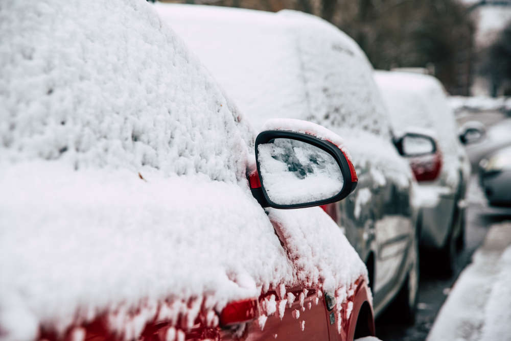
The snow started Wednesday afternoon.
UPDATE 3 (Feb 13th @ 8:00 a.m.) - The snowfall warning has ended for Oxford County.
---
UPDATE 2 (Feb 13th @ 6:15 a.m.): There's more snow on the way, but it looks like the worst of it is over.
Environment Canada is predicting another 2 to 4 centimetres this morning along with a risk of freezing rain.
The roads are already in rough shape so make sure you drive accordingly if you have to go anywhere. You should also make sure your vehicle is completely cleared of all snow and ice before you hit the road.
The City of Woodstock has posted a list of its weather related delays and closures online here.
---
UPDATE: A snowfall warning has been issued for Oxford County.
Environment Canada says we can expect 15 to 20 centimetres of snow byThursday morning with peak snowfall rates between 2 and 4 centimetres per hour. We could also see some ice pellets mixed in with the snow tonight.
It should start later this afternoon and officials say it will be at its heaviest tonight before it eventually ends tomorrow morning.
---
OXFORD COUNTY - We're about to get another blast of winter in Oxford.
Environment Canada says we could get more than 15 centimetres of snow Wednesday night going into Thursday morning.
Officials say there is a chance the snow could turn into rain or freezing rain later on, but it's all depending on how the low pressure system moves through the area. If it shifts farther south, we can expect a lot of snow.
Either way, Environment Canada says we can expect hazardous road conditions, so you should avoid non-essential travel if possible.
 Earth Day Events in Oxford County
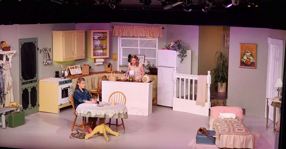 ITOPA Presents: Crimes of the Heart
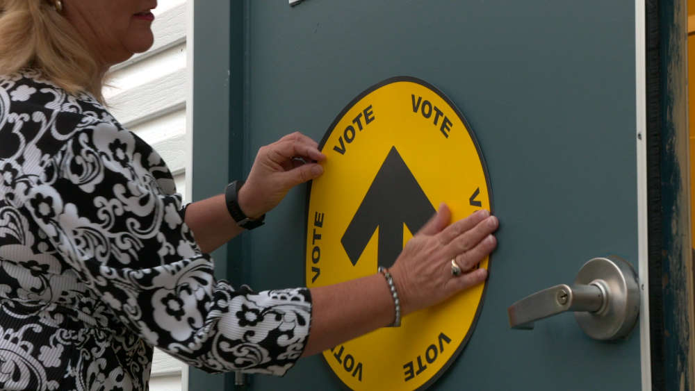 Last Day for Early Voting in Federal Election
 Meet the Federal Election Candidates in Tillsonburg
 United Party Candidate Profile: Melanie Folkema-Van Brugge
 UPDATE: One Charged in Fail to Remain Crash in Innerkip
 Registration Open for BBBS MEGABike
 Woodstock Purchases EZblocks Patio System
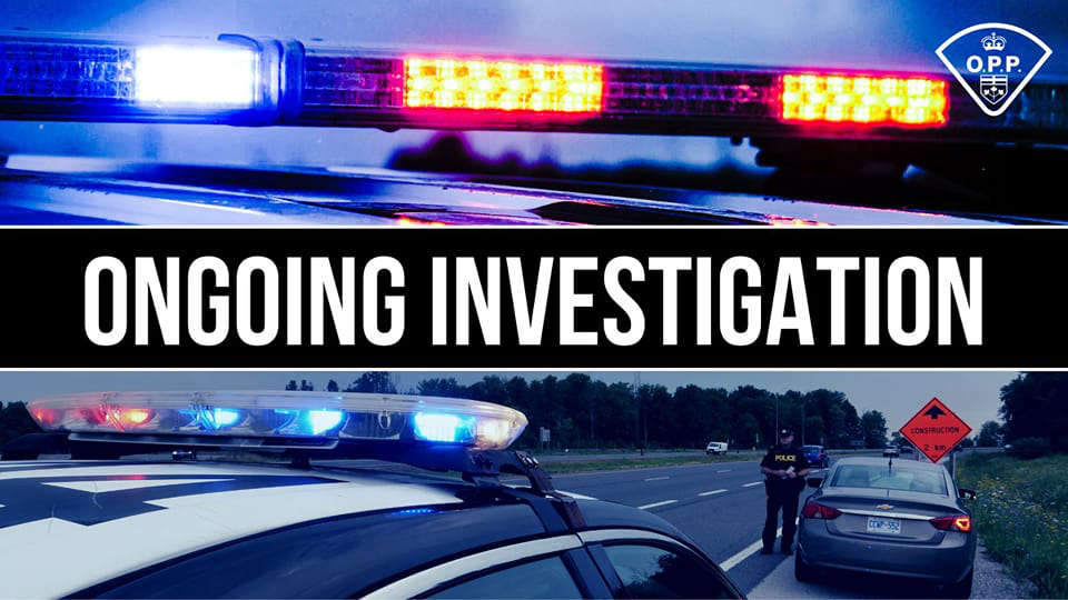 UPDATE: Another Arrest Related to Ingersoll Robbery
 Pope Francis Dead at 88
 New Partnership Helps LTC in Ingersoll
 Theatre Woodstock Roles Out Season Schedule
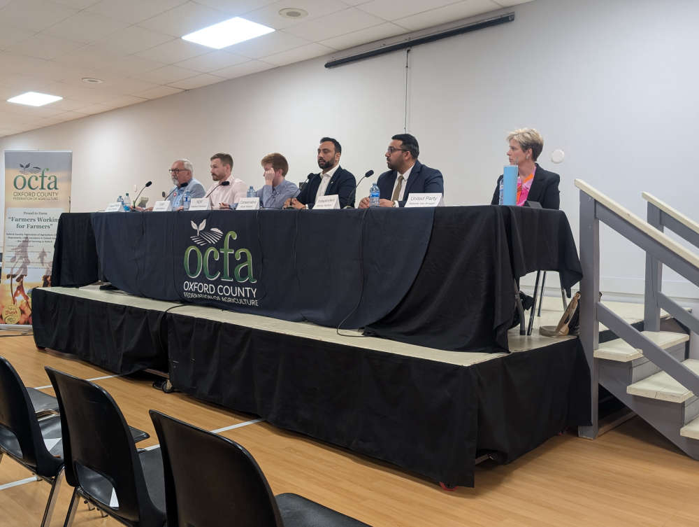 OCFA Hosts Lively Debate in Embro
 Norwich Township Man Charged in Brant
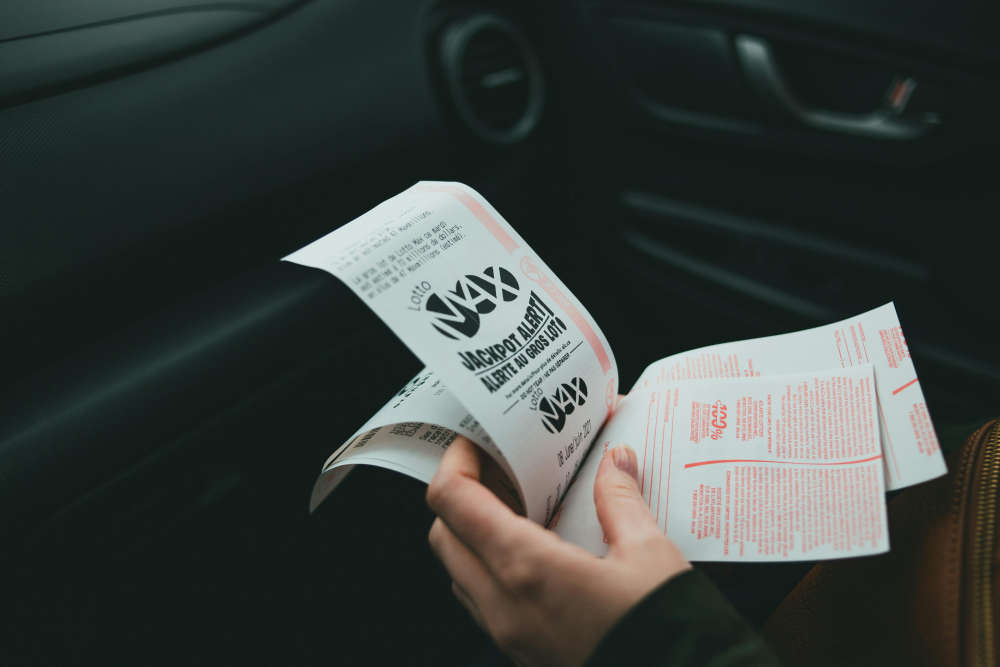 Deadline Approaching for Winning Lottery Ticket
 Tillsonburg Food Bank Launches Spring Fundraiser
 Woodstock Receives Over $409,400 from OLG
 Bank of Canada Sets New Interest Rate
 UDodge Breaks Fundraising Record!
 OCFA Debate in Embro Tonight


Comments
Add a comment